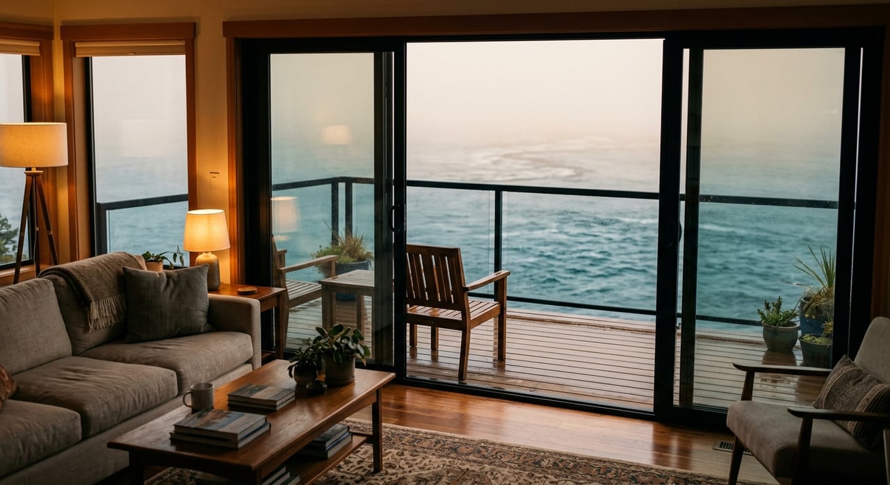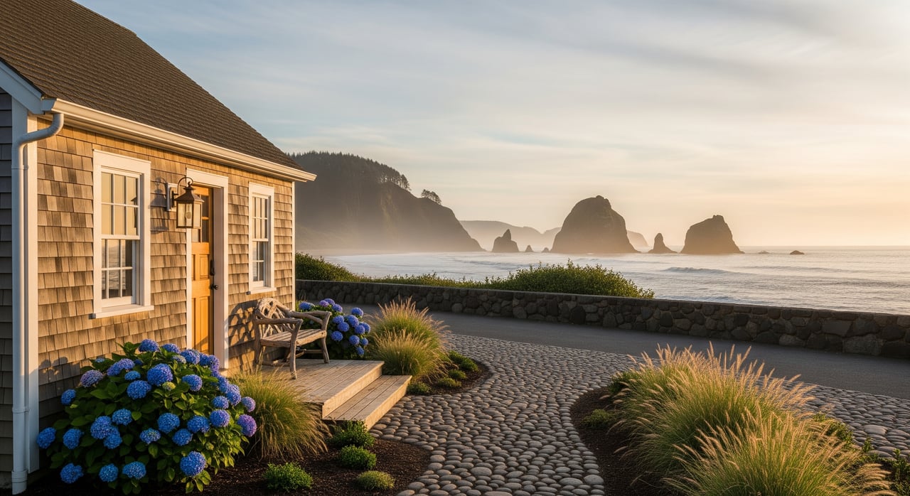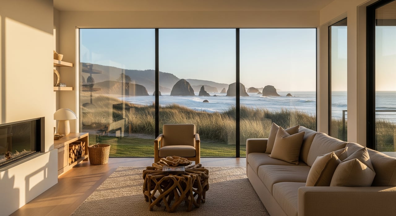
Bandon's winter has two clocks running at once. One is the tide chart, which can tell you, to the day and the inch, exactly how high the water will rise in December of next year. The other is the storm track crossing the Pacific, which nobody can call more than about a week out. Most guides to the season here treat those two clocks as the same thing. They aren't, and the gap between them is the difference between standing at Face Rock on a flat, gray afternoon and standing there when the whole headland is getting hit by spray.
The tide chart gives you the king tide dates. The storm track gives you the swell. A big local show needs both to land on the same day, and that overlap is far less guaranteed than the king tide calendar alone would suggest.
Two Systems, One Season
A king tide isn't weather. It's astronomy. It happens when the moon is new or full and sitting at its closest point to Earth in its orbit, which stacks the sun's and moon's gravitational pull on the same side of the planet and pushes the routine high tide a foot or two higher than usual. Because the moon's orbit is fixed and knowable, king tide dates can be published a year or more in advance with real precision.
Storms don't work that way. A winter storm off the Oregon coast is a weather system, and weather systems are only reliably forecastable a handful of days before they arrive. The National Weather Service issues High Surf Advisories and Warnings when a system is close enough to call, and those notices are the closest thing to real-time information the storm side of this equation offers.
So Bandon's winter has a tide calendar that's locked in months ahead and a storm calendar that only comes into focus about a week out. The dramatic wave action people associate with Oregon storm watching happens when a king tide window and an actual storm swell happen to overlap. When they don't overlap, a king tide date can be a non-event, a couple of extra feet of water on an otherwise calm afternoon. And a storm with no king tide behind it can still throw serious surf at the coast on a day nobody flagged as special.
This Winter's Three Windows
The king tide side of the 2026 to 2027 season is already set. The dates fall in three clusters:
- November 23 to 27, 2026
- December 22 to 26, 2026
- January 20 to 24, 2027, the final window of the season
Those dates mark when the water itself will be highest, independent of whatever the sky is doing. The broader storm season that surrounds them runs from November through February, with the biggest, most theatrical systems typically arriving in December and January, the same stretch that holds two of the three king tide windows this year. That's a real overlap opportunity, not a guaranteed one.
The way to actually use this: treat the king tide dates as a shortlist of days worth watching the marine forecast more closely, not as a promise that the ocean will perform on cue. Check the National Weather Service's marine forecast out of the Medford office in the days before a king tide window, and if a swell is building on top of one of those three dates, that's the day to go.
Where the Overlap Actually Shows Up
When the timing does line up, Bandon has a specific set of places where the water actually reads as dramatic rather than just high.
Beach Loop Drive, the road that skirts the town along the coastline, has a string of pull-outs where waves crash against the jagged rocks below and throw spray well up over the bluffs. Face Rock State Scenic Viewpoint and the adjoining Coquille Point sit high enough above the sea stacks to take in the whole sweep of the action from a safe remove, which is exactly the kind of elevated, set-back vantage that works for this. And at the north end of town, Bullards Beach State Park puts you at the mouth of the Coquille River, where an incoming king tide pushes water past the Coquille River Lighthouse in a way that's worth seeing even without a storm attached.
None of these require getting close to the water. That's the point. The best vantage points here are the ones that put distance and elevation between the viewer and the surf, which is also what keeps the show safe to watch.
The Part the Calm Moments Don't Warn You About
The dangerous version of this season doesn't usually look dangerous. The U.S. Coast Guard has flagged sneaker waves as one of the biggest weather-related risks on this stretch of coast, and the pattern behind them is almost always the same: a period of ordinary, calm-looking surf lulls people into standing closer to the water, and then a single larger wave arrives without warning and sweeps someone off their feet, sometimes pulling logs and other debris in with it. That's why jetties, unrailed cliff edges, and low-lying beach areas are worth avoiding during any of the three king tide windows, storm or no storm. The safest rule is the same one that makes Beach Loop Drive and Face Rock good viewing spots in the first place: stay elevated, stay back, and let distance do the work.
Bandon's storm season also has a quieter, more organized side to it. The Oregon King Tides Project, a citizen science effort tied to the coastal conservation group Oregon Shores, asks people to photograph the water at key spots during king tide windows so researchers can track how the coastline is changing over time. It's a low-key way locals turn a predictable astronomical event into something more useful than a spectacle, and Oregon Shores has in past seasons paired the New Year's king tide window with an informal watch party open to anyone who wants to ring in the new year on a bluff with a crowd instead of alone.
Reading the Season Like a Local
None of this changes what the calendar says. It changes what you do with it. The king tide dates tell you when the tide itself will be exceptional. They don't tell you whether the day will be memorable. That second part depends on a storm system that only becomes visible a week or so out, which means the real move is to treat November 23 to 27, December 22 to 26, and January 20 to 24 as three windows worth checking the marine forecast against, not three days circled in permanent marker. Watch the swell forecast in the days leading up to each one, and go to Beach Loop Drive, Face Rock, or Bullards Beach only once both calendars are pointing at the same date.
That's the difference between a flat, gray afternoon at the coast and the kind of storm watching Bandon is actually known for.
If Bandon's rhythms, from its tide charts to its town, are the kind of place you can picture building a life around, Pacifica at Rogue Reef is worth a conversation. Explore Pacifica Living and reach out to Marie for local expertise on what it looks like to call this stretch of coast home.